From Henhurst Bridge No 52 to Chapel Bridge No 7, a distance of 21 miles, 5¼ flg and 12 locks.
We couldn’t make a really early start from Wigan because to conserve water a couple of the locks are locked up overnight so we didn’t actually get under way until after 8am. Although the old BW offices have gone the dry dock is still there and it looks like it’s still usable.
Turn Round Here : Tarleton Boat Yard
Start : Henhurst Bridge No 52
Finish : Chapel Bridge No 7
Going down through Wigan Bottom Lock No 87 was like going back in time in some ways. The site of Wayfarer Narrowboats is still there but its no longer a boatyard and the office building and workshop has been demolished – which is a pity because in the past it was a boat building yard and now all that history is gone.
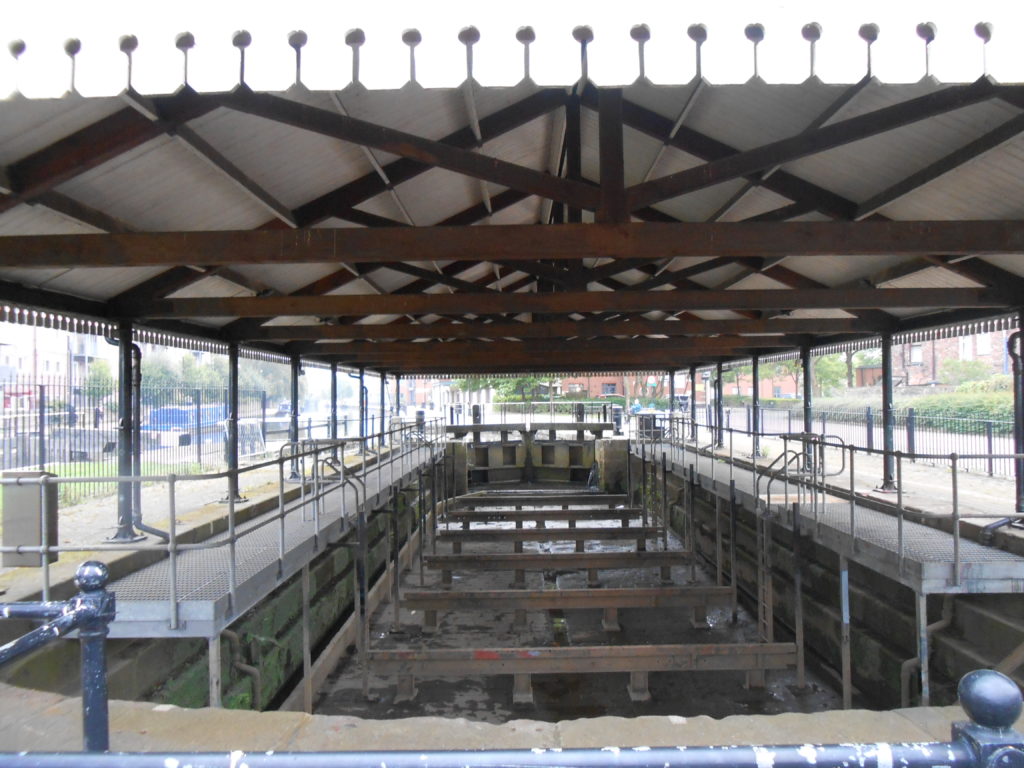
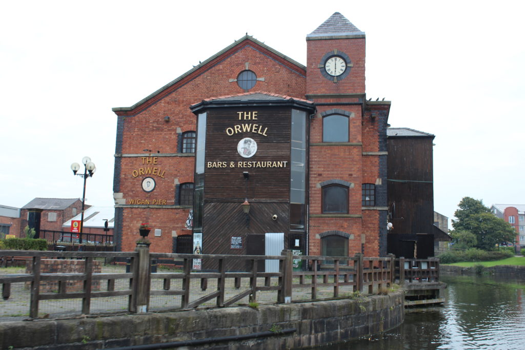
The rest of the “Wigan Pier Quarter” has faired equally badly. In the late 1980s the whole area was derelict – the Pier “Nite Spot” being the only activity in the area. But after the National Rally in 1983 things changed – a museum opened as did a pub and the whole place came alive.
Sadly those days are gone.
The main warehouse that housed “The Way We Were” is looking pretty run down now.
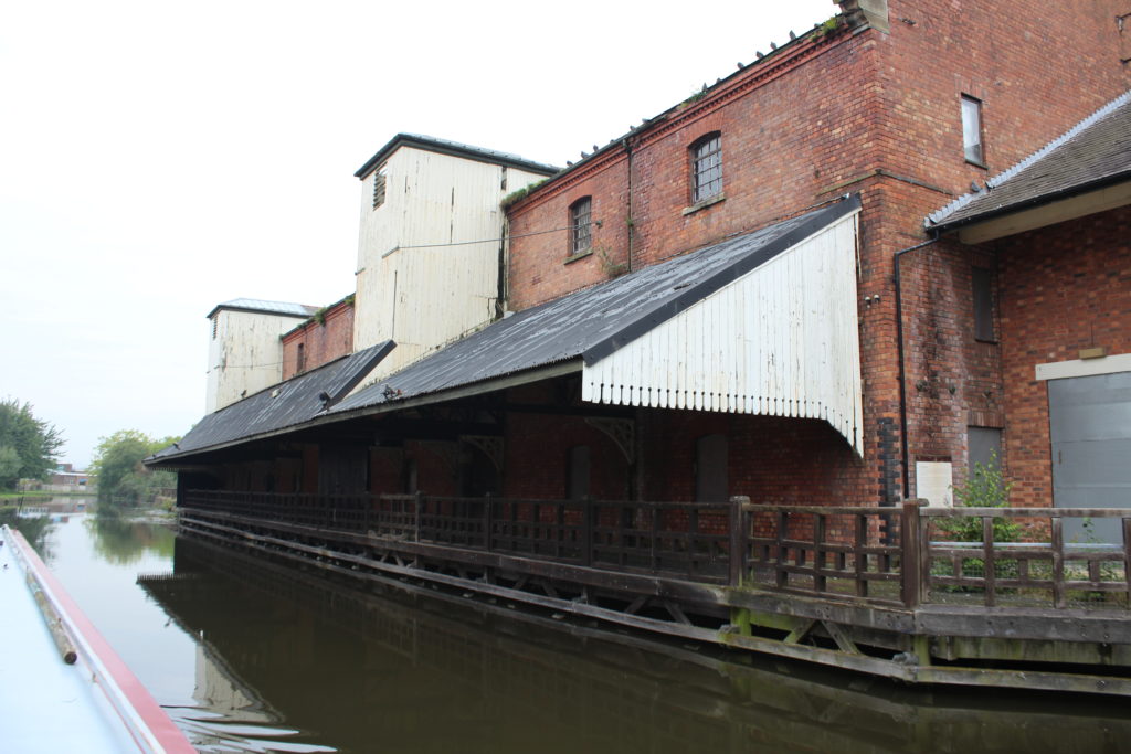
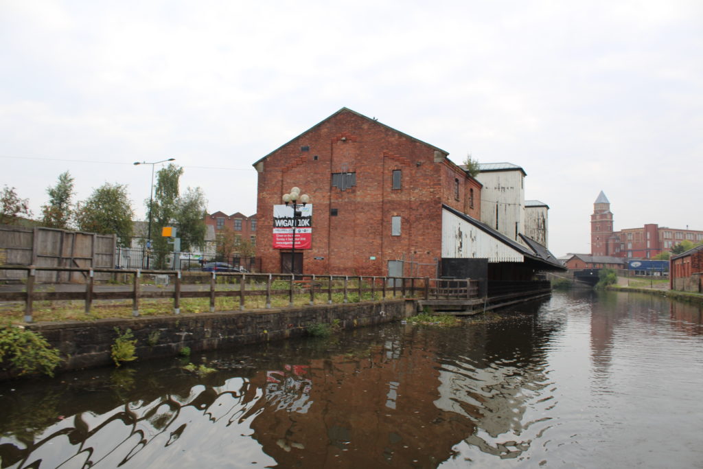
Actually “The Way We Were” describes the whole place quite well – it was derelict and now it’s derelict again.
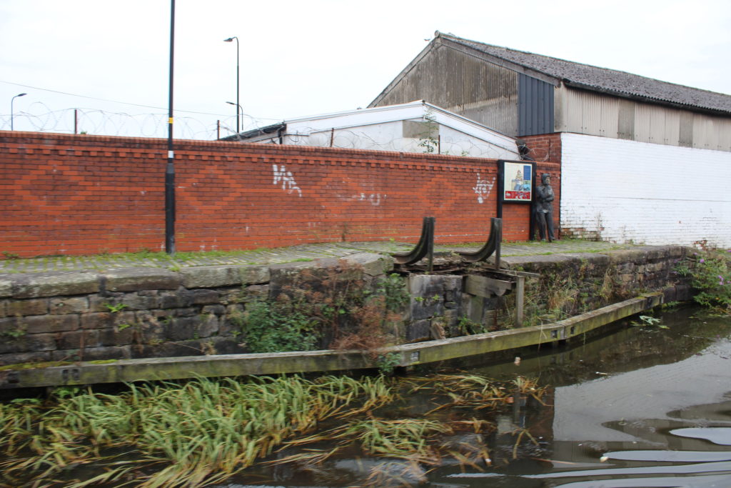
Even the Pier is falling apart.
I really do not know what Mum would have made of this – I don’t think she and dad had been down to the pier area for years, and maybe in a way that’s a good thing.
Leaving Wigan centre behind the canal starts it’s long journey accompanying the River Douglas towards the sea.
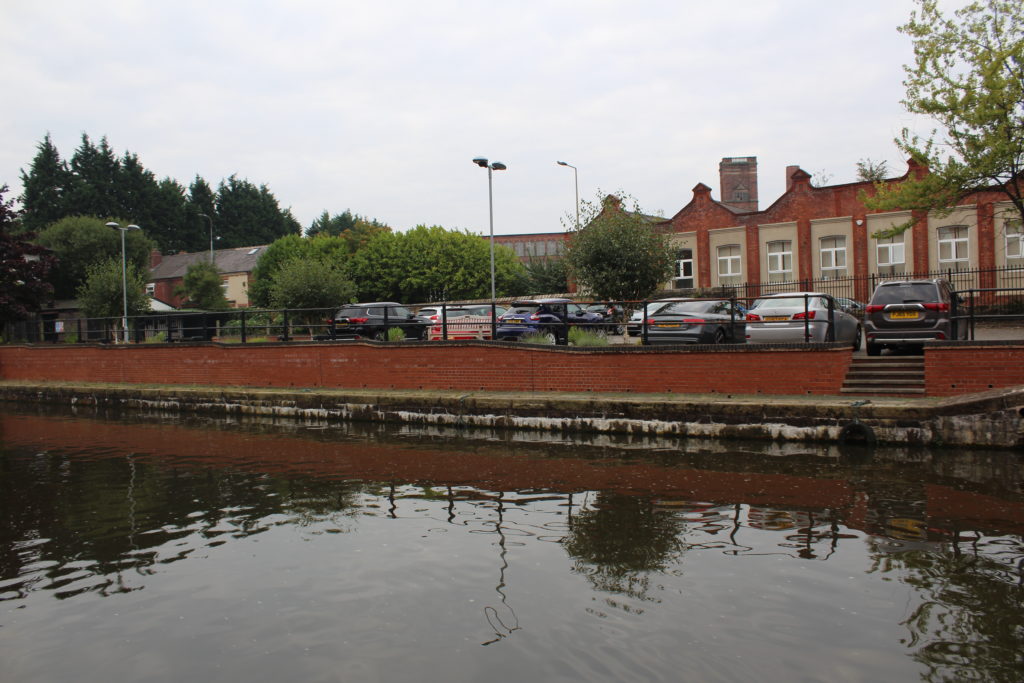
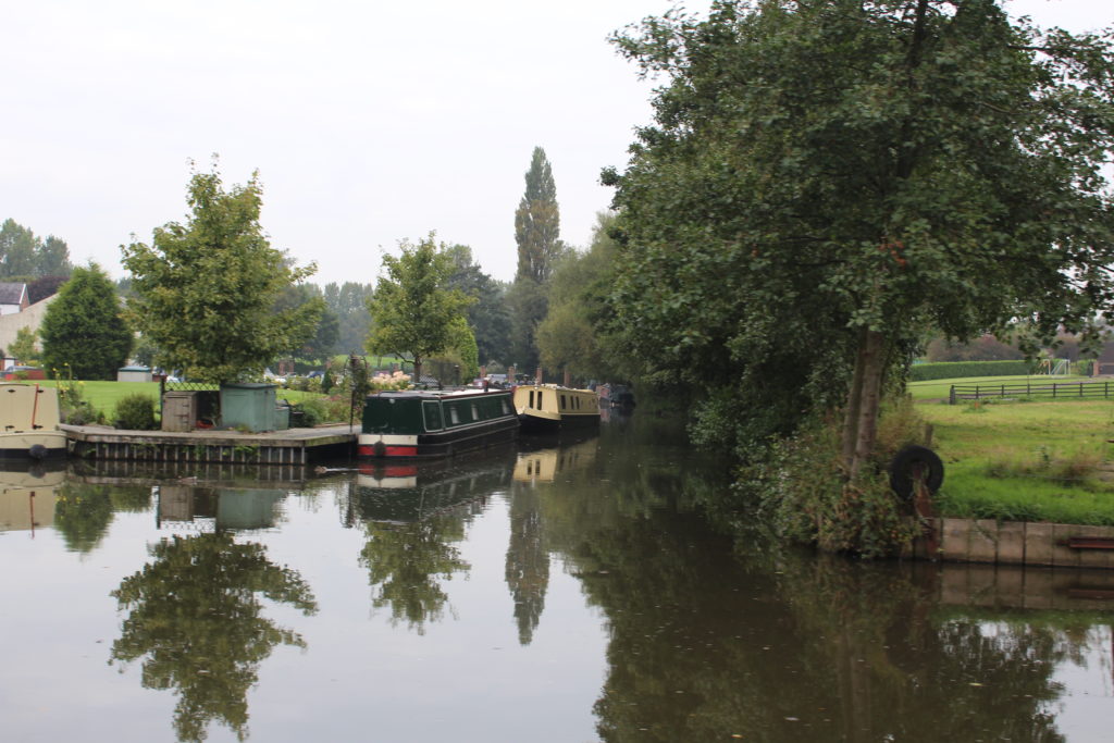
You leave Wigan behind pretty quickly and by the time you reach Crooke Marina you are pretty much out in the countryside. Crooke was where Mintball was kept for the first few years of her life and things have really changed there.
Even the site of the old coal tippler is grown over now although there did seem to be a sign by the edge of the trees which I guess could be an information board.
At Roburite Bend there is no sign of the buildings that were part of the Roburite Explosive works and there is no indication at all that there used to be a narrow gauge viaduct from here across the valley to the railway station where goods were transhipped to and from main line trains.
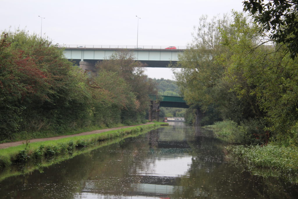
One thing hasn’t changed and that is the sight of Gathurst Railway Bridge being dwarfed by the M6 Viaduct as both the railway and the motorway cross the river and the canal.
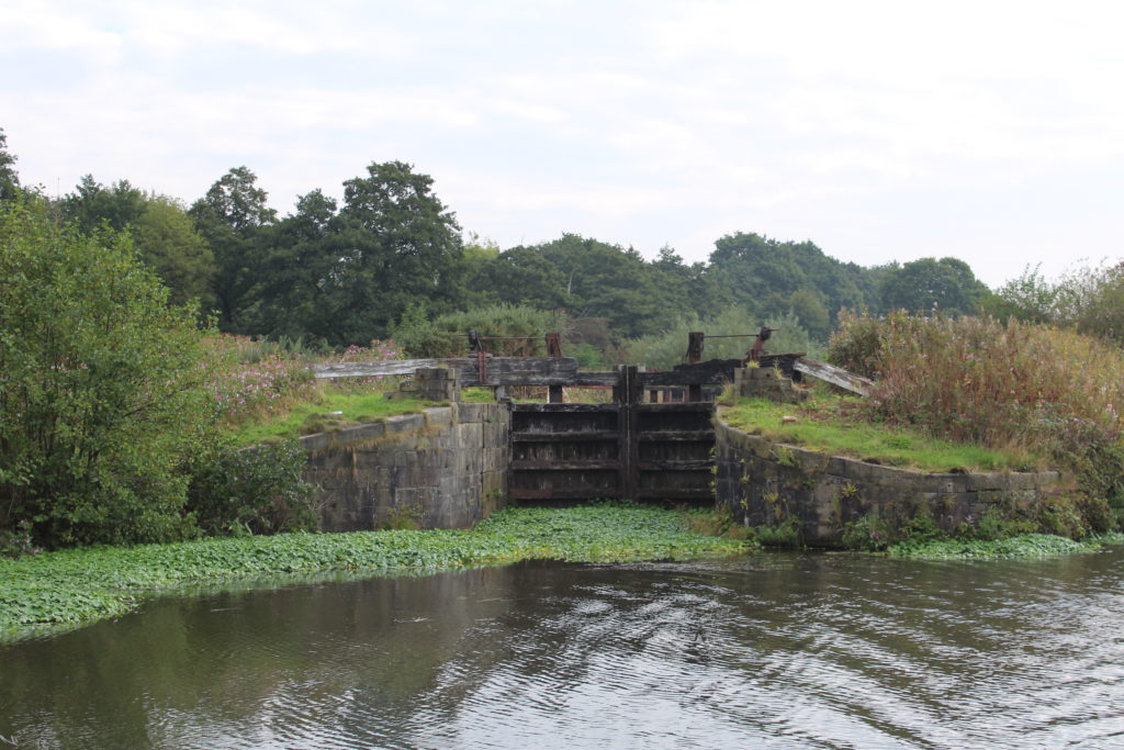
At Dean Locks No 90 only one of the two locks is now in operation, and it looks like the right hand lock has been out of action for several years now. In many ways the state of the canal now is no better than it was 20 years ago and in many ways it is worse.
At Appley Lock No 91 the two small locks which used to be derelict but were brought back into use are, once again. abandoned and half the paddles on the deep lock don’t even work which makes passage of it even slower than it was before.
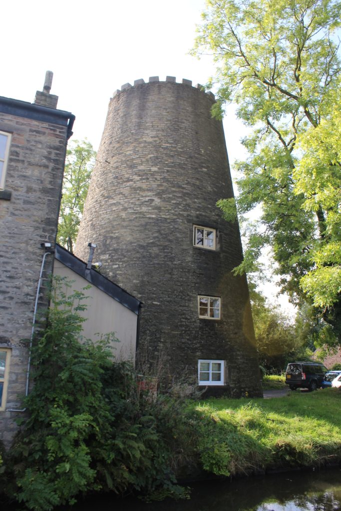
Leaving Appley Bridge and its tar works behind you continue to follow the River Douglas and at Parbold Aqueduct No 16 the river ducks under the canal as it makes its more direct route towards The River Ribble.
The canal continues to wind its way down the valley, sticking to the contour line, and manages to avoid just about everywhere it possibly can.
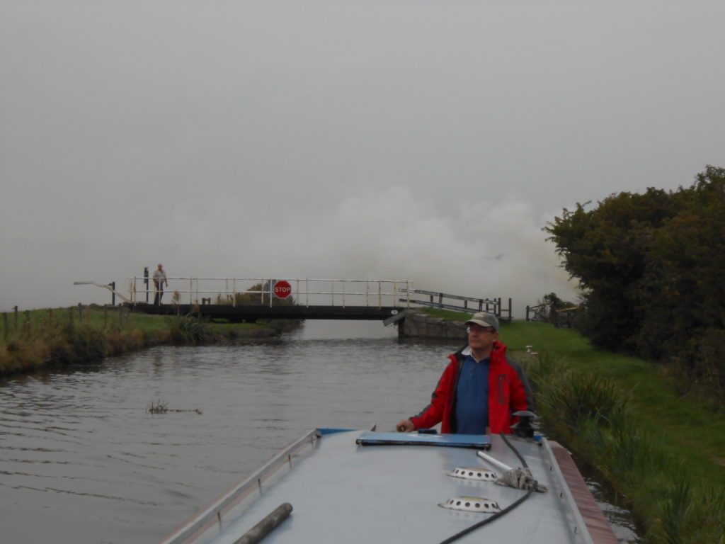
We arrived at Lathom Junction just as a boat steamed out of the Rufford Branch and proceeded to go straight into the bank opposite. They seemed totally unphased by seeing us there and didn’t say anything apart from telling us that the swing bridge was a little stiff.
We stopped to fill up with water and then made our way down to just below.Lathom Lock No 2 where we pulled over and went and had a couple of pints in “The Ship” for old time’s sake (we once attended a New Year’s Eve party there) .
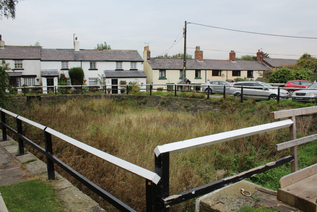
The Rufford Branch is a delightful little canal which is overlooked by so many people. Each lock is different (different paddle gear) and all of them are quite picturesque, and the view across the open plains to the Pennine Hills are good. It is however a short canal and before long you find yourself at Sollom Lock which is where the Canal used to join the River Douglas for the last couple of miles before the river was moved. The navigation changes so much at this point : it becomes much more winding, is full of reeds and is quite deep and before long you are at Town End Narrows where you have to try to turn your boat because although it says 100 metres to the Winding hole the next sign (which I assume should say 50 metres) has its distance blocked out.. Luckily you can turn a 52 foot boat here, but there is no point in trying to use a boat pole as you won’t find the bottom!
Heading back we encountered a smoke bank at Fearn’s Swing Bridge No 9 caused by a local farmer burning old hay.
The Rufford Visitor Moorings just below the bridge are in extremely good condition and we called it a night and walked up to the Hesketh Arms for the evening.